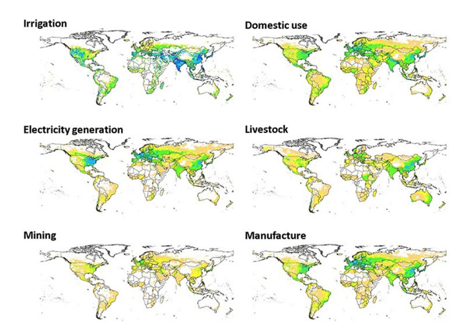
Water use information is often available only on large space and time scales. To better inform Earth system models and global hydrologic models, an international team led by Pacific Northwest National Laboratory created estimated of water withdrawals on a smaller scale. They divided the Earth’s surface into grids (of about 50 kilometers square near the equator) and combined the larger-scale data on water use with records of population, temperature, power usage, agriculture, manufacturing and mining. They used several models to estimate water use in each of the grid areas and verified their estimates with historical records between 1971 and 2010. The data set will be useful for water management and Earth system modeling and studies.
February 2019
How much water does the world use?
A PNNL team reconstructs a global monthly water withdrawal data for a four-decade period.
